Come on down and visit us in the Burningtown Valley!
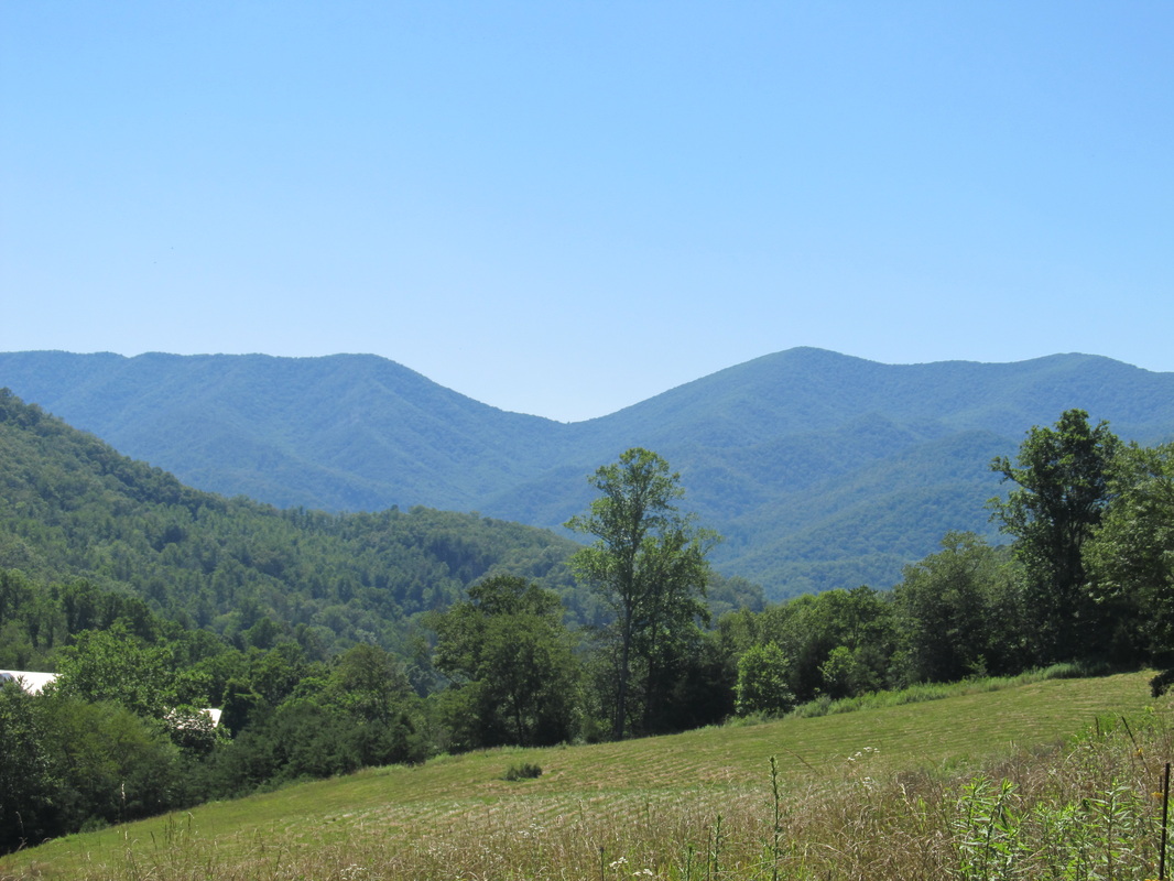
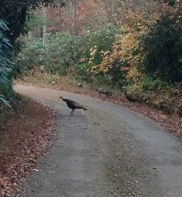
There are a lot of turns out to Masons Mine, but there is also a lot to look at. Slow down, admire the beauty of nature, and look for our signs. They won't lead you wrong. While driving the Airport Rd /Olive Hill Rd / Upper Burningtown Rd you might encounter wild turkeys and deer. In the Iotla area near the airport there was an important Cherokee Indian village!
Watch this short video to get used to the drive!
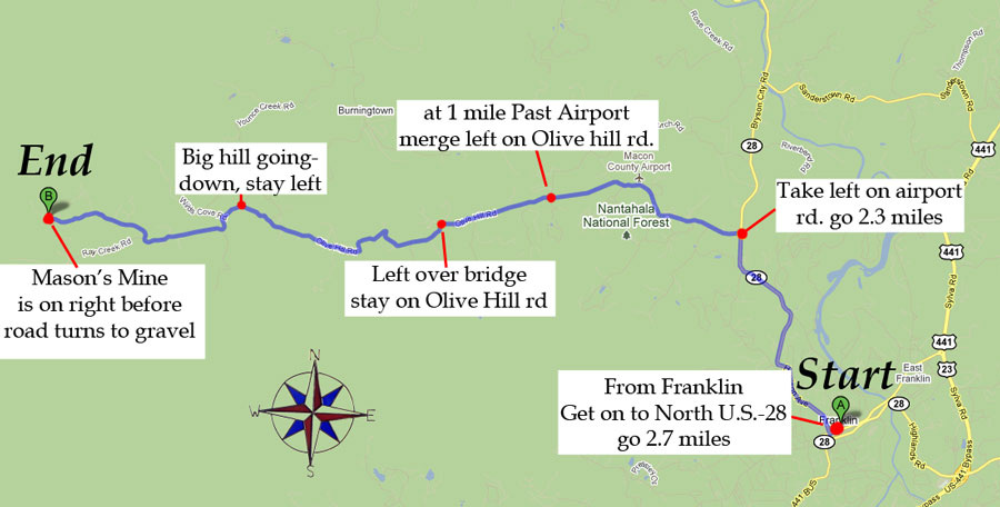
Here's a map to Mason's mine
Directions:
If you plan to use GPS to find the mine and you are coming from Cherokee/Gatlinburg please set your GPS to go to Franklin first. If coming from Bryson City set it for Dillsboro then Franklin. If you set it for our mine directly it takes you down a curvy gravel road not much more than a one lane cow path along the Little Tennessee River. That road is scenic, but it's has no gas stations, services, isolated, and tends to flood during heavy rain events! 441 is four laned all the way to Franklin and is much quicker. If you are using GPS set your device to find the Macon County Airport once you reach Franklin. The best route from downtown Franklin is to take Highway 28 North 2.7 miles to the Airport Rd which is on the left. Stay on the Airport Rd for 2.3 miles till it ends at Olive Hill Rd and bear left. From there on there are signs for Mason's every mile or two. Stay on Olive Hill Rd for about 4 miles and it becomes Upper Burningtown Rd as you bear left at the bottom of a big hill. In 2 miles you will see our mine on the right. If you pass the mine you will hit a gravel road in a quarter mile that ends in another quarter mile at a gate.


